Basics of Groundwater Flow Modelling Using MODFLOW
About Course
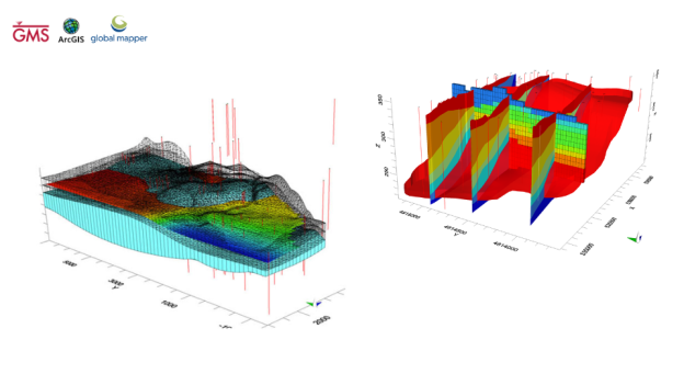
Groundwater flow modelling using MODFLOW is a process used to simulate the flow of groundwater in an aquifer. The model uses inputs such as aquifer properties, well locations, and recharge rates to calculate groundwater levels, drawdown, and flow paths. This information is then used to make management decisions on water supply, aquifer remediation, or other water management strategies.
Master groundwater flow modelling from the ground up using the MODFLOW code and GMS software. You will learn the fundamentals of groundwater in general and groundwater modelling in particular during this course.
During our course we will discuss interesting topics as follow:
- Basics of groundwater
- Theoretical background of groundwater flow
- Aquifer types
- Groundwater flow equation
- Concept and steps of groundwater modelling
- Creating Models using grid approach
Also, during our course we will use and practice on many software like:
- Groundwater Modeling System (GMS): for groundwater flow modeling simulation
- ArcGIS: for building the model conceptually, extract shape files and extract raster
- Excel: to solve finite difference manually, to read spreadsheets and extract CSV files
- Global Mapper: for extracting Digital Elevation Models (DEM), rectify images and convert projection
By the end, you will not only be able to create groundwater models by following the steps in this course, but you will also be able to understand the concept of groundwater modelling and how the MODFLOW code uses finite difference to solve the groundwater flow equation, as well as how to judge whether your model is correct or not and how to find and fix problems on your own.
Course Content
1. Introduction
-
04:22
-
10:24
2. Groundwater Aquifers
3. Groundwater Flow Equation
4. Groundwater Modelling
Student Ratings & Reviews

