

Importing and Georeferencing Maps and Images
Please note: In late 2020, Leapfrog Works received a significant update to its user interface. While the current version of Leapfrog looks quite different from the version used to record this video, most of this content is still valid as the layout, location of functions, and workflows remain largely the same.
For more information about the latest new features, please see the Leapfrog Works product page (https://my.seequent.com/products/leapfrog-works/latest).
Also, we are working to update our courses in MySeequent. As we do, you will find the most up to date information on Seequent Learning (https://lms.seequentlearning.com/dashboard).
0:00 – Introduction to importing and georeferencing images in Leapfrog
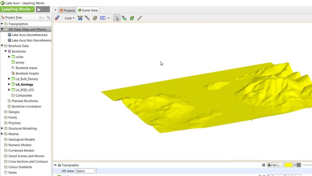
0:33 – Introducing the GIS Data, Maps and Photos folder
0:53 – Importing a georeferenced map/image (Geotiff file)
1:07 – Importance of consistent coordinate systems
1:23 – Importing a non-georeferenced map/image using mapped coordinates
2:41 – Importing a non-georeferenced map/image without mapped coordinates, using registration markers
4:00 – Correcting errors in marker placement
Source
Responses